Map Object Settings
The map object settings for the GIS map are located in the Map Objects view in the Location tab.
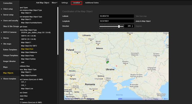
Coordinates
If the trigger type of the selected map object type is Camera and the linked camera has coordinates, these are automatically used for the map object and the Latitude and Longitude fields and the Take from map button are disabled.
If the fields are still filled in, you can specify the Latitude and Longitude manually or click the Take from map button.
-
The valid range for Latitude is [-90,90].
-
The valid range for the Longitude is [-180,180].
Direction
Direction can be set only for map objects whose display type is Image.
The valid range for is [-360,360] degrees.
This setting is displayed directly in the preview of the GIS map control.
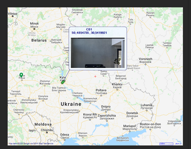
Object Tooltip
If the trigger type of the Map object type is Camera, the text in the tooltip is formatted according to the Display Name Map camera setting (see Mediasources). If present, a camera preview image is also displayed.
If the trigger type of the Map object type is Alarm / AlarmInstance / SystemComponent / None, the name of the Map object is displayed.
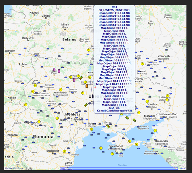
When map objects are merged into the map object grouping, the names of the map objects that are in the grouping are displayed in the tooltip.