GIS Map Objects Clustering
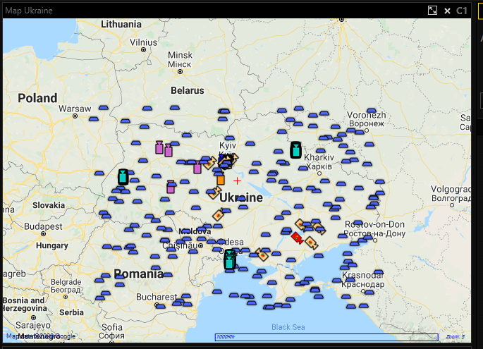
If GIS Map has a lot of Map Objects in specific region, then on the small Zoom levels Map Objects can overlap each other.
To avoid Map Objects overlapping, Administrator can enable Map Objects clustering setting for the specific GIS Map. In this case neighbour Map Objects will be merged to the Map Objects Clusters.
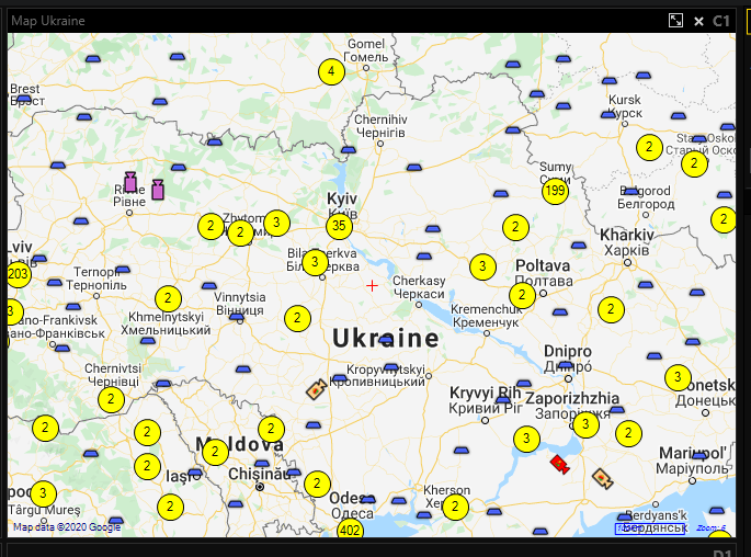
Map Objects Cluster use Map Objects Cluster Color / Map Objects Cluster Alarm Color System Settings for the visualization. If Use individual icon size GIS Map setting is enabled , then Map Objects Cluster use Icon size for the visualization, otherwise Map Objects icon size System Setting is used.
On the Map Objects Cluster Icon User can see the number of the Map Objects that are included in this Cluster. Map Objects Cluster’s tooltip contains names of the Map Objects that are included in this Cluster.
User can click on the Map Objects Cluster to zoom GIS Map to show cluster’s Map Objects. Sometimes is not possible to show all cluster’s Map Objects in one view, in that case smaller Map Objects Clusters will be shown.

Map Objects Clustering is performed whenever User changes current map view (move /zoom map).