GIS Maps
On the GIS Map Control, the operator can see the following information:
-
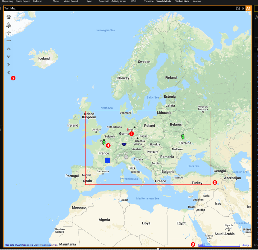
 Current map view center (small red cross marker)
 -
 Map Control Panel
 -
 Allowed map area (if any)
 -
 Map objects and their current states
 -
 Name of the map provider, scale and current zoom level
The Map Control Panel contains the following buttons:
|
Buttons |
Explanation |
|---|---|
|
|
Centers map according to the map's starting point and applies the default zoom level. |
|
|
Shows the Map Related Alarms Control. |
|
|
Increases/Decreases the current zoom level of the map. The current map zoom cannot be outside [Min Zoom scale, Max Zoom Scale] range. |
|
|
Moves the current map view. If Allowed Area is set, the operator cannot move outside the Allowed Area rectangle. |
 Home
Home
 Map Related Alarms
 /
/
 Zoom in/Zoom out
 /
/
 /
/
 /
/
 Move up/Down/Right/Left
Navigation on the GIS Map:
- Move the current map view by holding the left mouse button and moving the mouse. Alternatively, you can use the Move Up/ Down/Right/Left buttons on the Map Control Panel.
- To zoom in/zoom out the current map view, scroll the mouse wheel. The same can be done with the Zoom In/ Out buttons on the Map Control Panel.